Showing posts with label swimming hole. Show all posts

Tuesday, May 1, 2012

Up the creek


Easily accessible from the most touristed stretch of the Khao Lak coast (Phang Nga, Thailand), it could be expected that Chong Fa would be nearly overrun or near ruined. However the opposite is true.

'Please do not entry to the waterfall'
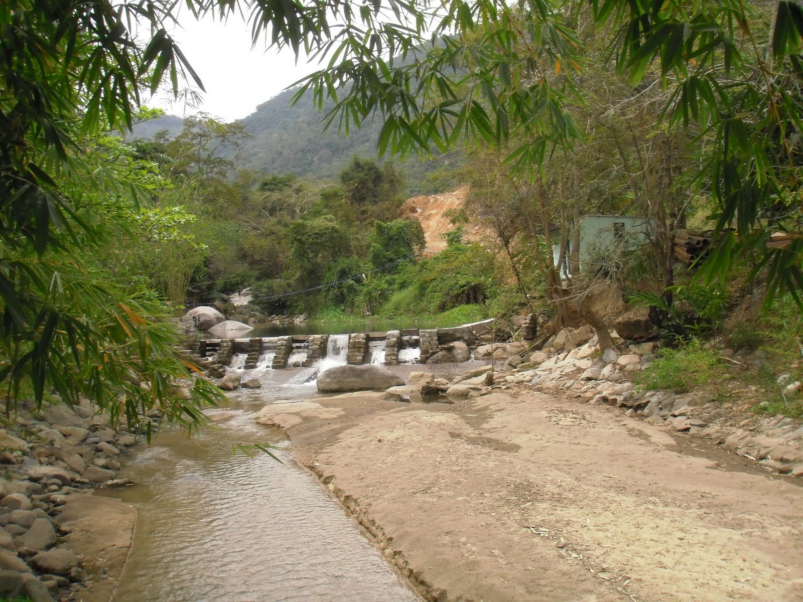
The entrance gate (Chong Fa is part of the Lam Ru National Park) is half open or half close with a poster revealing that the park is somehow off-limits (photo above). A plus is that the park is (still?) open. Furthermore, no entry fees are required. And once again the access road is too difficult to take. There is a lone ranger, but he has his pitched his hammock up high and is wondering what his dreams will bring him.

From the entrance to the waterfall is a 1km long access road. From the road head it’s another 200m walk along a track to the first level, so no real strenuous hike, but a deliteful one nonetheless.


Getting there is a big part of the experience.
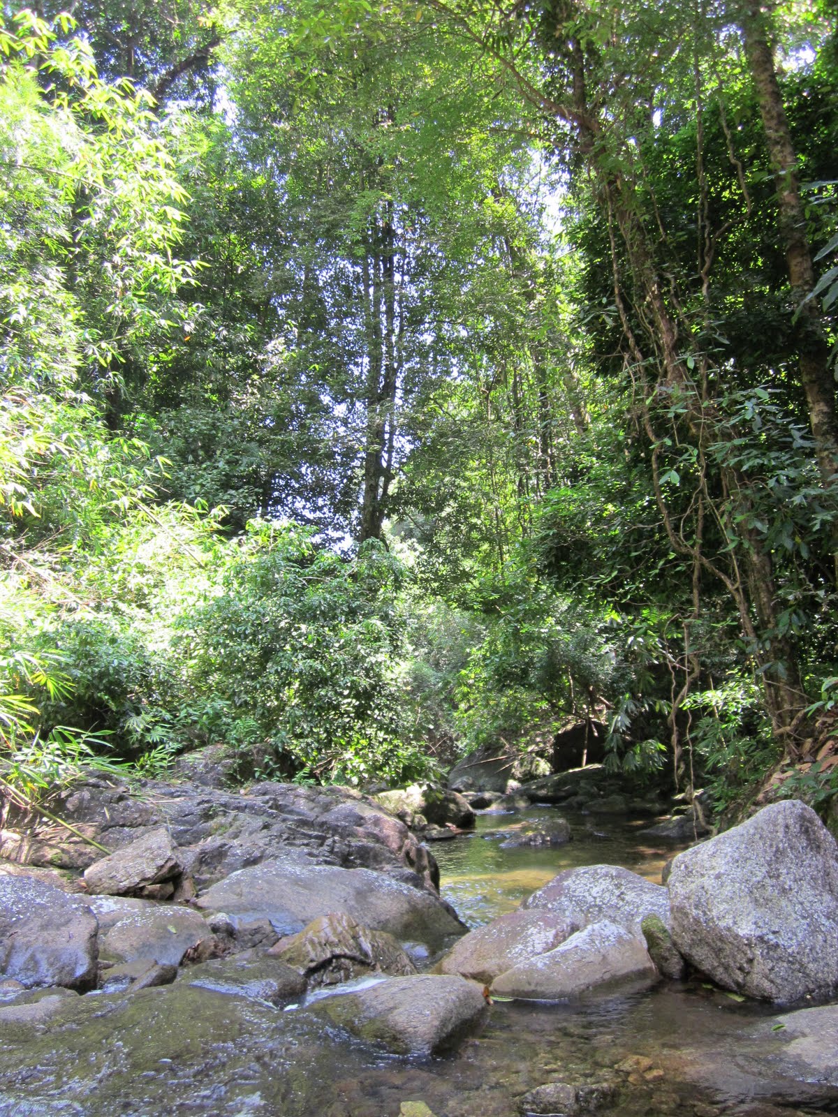
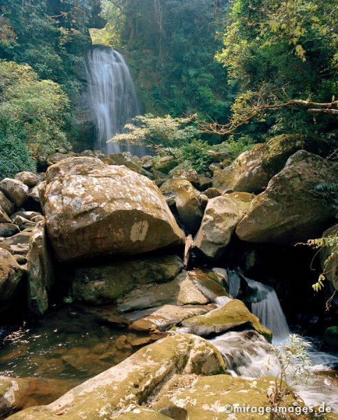
Chong Fa is a fabulous waterfall with lots of water crushing down into a deep and sunny pool. Downstream along the access road, are more swim holes, all deep and free flowing with great opportunities for a great dip.

It really is amazing, this piece of paradise so close to the paradise lost of Khao Lak.


There’s one website which has some more info on Khao Lak’s waterfalls (it mentions Chong Fa as having a steep (!) track to the first of five levels), but in general Khao Lak’s waterfalls are neglected and ignored, despite these being a great way to diversify the coast’s attractions, generate income and able to increase awareness of the globe’s natural surroundings, their fragility and the unique experience they offer. It contrasts with other places nearer Bangkok where waterfalls have become attraction parks, places of recreation.

But for me the tranquillity and (temporary?) absence of the great world is an opportunity to indulge in swimming, plunging and receiving a natural back massage.
Chong Fa, back massage please!

Saturday, January 7, 2012

Massage please

Don't enlarge this picture!

About 10 km south of Suk Samran, on Thailands Highway 4 between Ranong and Takua Pa, just north of a bridge, an attentive passer-by will see a wearied and worried signboard, pointing inland, inwards to Suan Mai waterfall, part of Sri Phang Nga National Park, home to many new and unknown waterfalls.
The small road first passes some kampong houses, crosses a bridge and slowly climbs up through rubber and palm oil plantations, interspersed with some durian orchards, ripe for the picking.
The road deteriorates, then improves. After deteriorating again, one needs to continue going straight in a sharp left hand corner.
The road gets steep and enters a protected environment with what was once a parking area before a steep hairpin to an office with some tired looking government staff.

After stepping out of the car, one hears the rushing stream. Following a wide track and then a smaller track along a waterpipe, the 10 minute ‘trek’ ends at the foot of a nice 20 m high waterfall, Suan Mai.

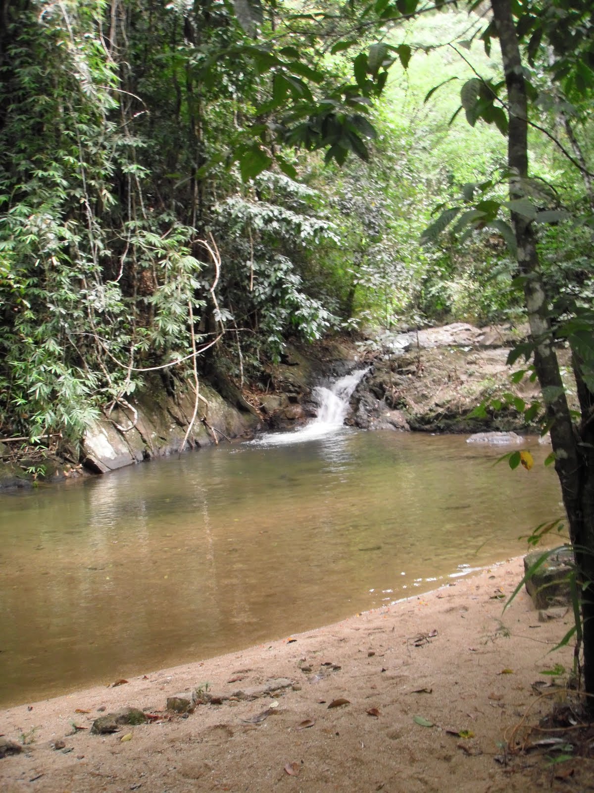
Beneath the fall is a great pool to cool off and swim up for a natural back massage. Another nice find.


The surroundings are still very natural and pristine, despite the relative accessibility of these falls from the highway.


Interesting background knowledge is the website of the Andaman coast community tourism. It highlights some lesser well known waterfalls near Kuraburi. Other than this mention there is not much other information on the internet, it's very far away from anything remotely touristic, but as said a great find.

Sunday, July 10, 2011

Deadly

Khao Sok National Park is a funny kind of place. Due to it's relative proximity to Phuket / Khao Lak, the ability to use it as a stopover from these places to / from Samui ferry and being just one km from a nice highway, it see's it's fair share of tourists. So much so, that a village of lodges, minimarts, travel agencies and cafe's / restaurants has sprung up.

Besides the facts of access, the reasons for a visit include the entrance point to one of Thailand's biggest and most spectacular national parks, the impressive craggy scenery and deliteful meandering stream that finds it's way through the various bungalow operations.
A poorly translated blog site names Khao Sok as no. 2 in Thailands list of top 10 national parks.

An acquaintance with the steamy jungle is on the cards.
Khao Sok offers a number of trails, along some streams. Having done these trails already 20 years back, one would expect some improvement. But none of that. Though the village has expanded exponentially, the national park has little to show for 20 years of high entrance paying tourists. One is still leant on to take a guide to destinations just beyond a ninety minute walk over a 4WD track. Going beyond is forbidden without a guide, at least in the wetter half of the year. Such is the pressure that even to this point of return groups of tourists see themselves compelled to hire a guide which is ridiculous.

Though I might see some safety element in this, it questions why the same practice does not take place elders. Or why simply the trails are made safe enough for independent tourists. But maybe keeping the guide trade in business trumps all other reasons.


Anyway, mid 2011, we took the walk up the Khlong Sok as far as possible which leads to amongst a couple of swimming holes, the waterfall of Wang Hin. Wang Hin sits on a small tributary on the opposite bank of the main Khlong.

Beyond the Khlong, Wang Hin waterfall.

Further upstream are the waterfalls of Bang Leiap Nam and Ton Kloi, as well as Than Sawan which is up a side stream. Possibly a guide might be required for this waterfall

From the national park headquarters there is also the possibility to visit Sip-et-Chan waterfall, an eleven tiered waterfall (the translation already says it all). Possibly reachable during the dry season.

Other trekking destinations are the already aforementioned swimming hole
(see photo of Bang Hua Raet below) as well as a few more spots for a dip.

Me, getting more wet with water than the customary sweat.

Just outside the national park there is the possibility for tubing (with guide), canoeing (with guide) or elephant trekking.

Over the mountains is the exceptional experience of where a major stream in the park has been flooded for hydropower usage. The lake level has risen enabling boot journeys around and among the towering limestone cliffs, a must-see.

The lake on a rainy monsoonal morning.

Wang Hin waterfall of Khao Sok National Park is located in Surat Thani province, just over 100 km due west along the main 401 highway. Good and recent info on the park is available from Khaosok.com as well as from Khaosokdiscovery.com.

Probably some of the best independent users information comes from Tezza's beaches and islands extensive and updated entry on Khao Sok. He goes to considerable lengths to warn against leeches, I had only the one after 3 hours, which dropped off by itself and the bleeding terminated after a couple of hours.

The leeches contribute to Khao Sok being rated as the one of the
World's Deadliest Places to Swim!
'Before you go camping in this national park, be advised. The area is the home to more deadly creatures than any naive tourist can imagine. Huge centipedes the size of an adult man’s arm, man eating sharks[!, there are none!], blood sucking leeches, giant mosquitoes and poisonous caterpillars and Scorpion fish. Getting bitten by leeches is seemingly unavoidable so make sure to take up smoking as leeches hate tobacco. When attacked, mix water with tobacco and pour it over the leech and it should let go. Whatever you do, do not try and remove it by force as it will cause it to release its venom'.
A better perspective to be had is from Thom Henley's Waterfalls and Gibbon Calls (2005).

Thursday, April 28, 2011

By Bhuddha


Intro
Signs say it's Wang Kan Lueng, others prefer Wang Kan Lueang whereas Wang Kan Luang seems to result in the most finds.


Probably Lopburi (Thailand) province's only waterfall, it will come to a surprise to many that there is even a waterfall in this mainly flat province. Better known for it's sunflower fields, the surrounding rolling hills are packed with to be planted cassava and/or to be harvested sugarcane; there's little to suggest in the geology nor in the landscape that hidden between the fields are a beautiful series of cascades.

Accessed from road 2089, Muak Lek - Chai Badan, entry is about 7 km north of the intersection with 2256 and the town of Tha Luang. The entry road heads west towards the floodplains formed by the Pa Sak Jolasid Dam. Only a km in length and extending on both sides of the stream, one soon arrives at the entrance proper: a car park with an impressive amount of food and knick-knack stalls.

Bhuddha
Effort has been made to keep the surroundings attractive, despite the lack of official protection by forest or national park administration; more often than not the way waterfalls are protected in Thailand.

Part of these efforts are directed by the erecting of a number of Buddha statues, Pae and Guy have a small blog entry solely on these statues.

All lined up

Exploitation
Officially described as an arboretum, there's not much to suggest that this is really the case. Just above the falls, a bridge extends to the other side which also has a large car park with vending stalls. Walk down stream past the main part of the falls and there is yet again a large bridge so one can make a circular route around the falls.


Gazing down

The main part of the falls are a rocky drop of about 5m. It's obvious that the underlying rock contains large amounts of calcium and the water changes colour to white/grey.

Above the falls are a number of vendors renting out picnic mats and inner tubes and judging by the height of the stacks, on certain days there must be heaps of visitors, Bangkok only 2,5 hours away. Above the falls are also some ponds to splash around in.

Betting on tubing

Below the falls, waters continue to drop creating small pools as the stream jumps in half meter / meter intervals. This section of the falls is impeccably clean and well-managed.

Further away
Downstream of the fall proper, extends a nature walk, hugging the north side of the stream. In places the stream becomes stagnant, but beyond the nearest stagnant section the stream continues it's jumping pattern. On a Monday morning there are some families near the main section of the falls, but at this time further downstream it's totally deserted. More worrying though is that refuse management does not extend this far and there is quite a bit of wind blown rubbish to be observed. The natural habitat evaporates and up to the edge of the stream are teak plantations. However each stream fall is followed by a waterhole, just the place for a secluded dip.


Web
Internet gives some other experiences, though most are positive. Paul Garrigan, a Lopburi located blogger, is quite surprised his province heralds a waterfall and despite his possible misgivings is quite impressed:
'When I caught my first glimpse of Wang Kan Lueang I was impressed straight away. I am no stranger to waterfalls in Thailand; for five years I lived in a village that is situated around a stunning ten level waterfall. Once we descended down some steps to Wang Kan Lueang it turned out to be a lot more crowded than I was expecting; I automatically regretted not bringing my swimming trunks because the water looked great and there were quite a few people already having fun'.
Melissa Swenson has a few pics from an equally good time. On flickr there are parts of sets by Joel Oh and lucaskt.

Monday, April 4, 2011

Past the bear pit


Part of the Yang Bay Tourist Park complex or at least just outside the most developed part of this tourist development complex, Ho Cho waterfall is a wide low waterfall, in all descending 6-8 m. I guess. Below is a great pool where one can take a very undisturbed swim. At least during the week, when visitors are few and far between.

That's for now. It's quite strange, this lack of even a decent track, slam-bam next to Yang Bay Tourist Park. Instead of going to Yang Bay waterfall itself, once inside the 'park' one takes the left road past the bear pit, tribal game place and orchid garden. Abruptly the wide road stops (10 minutes after taking the road) at a wild stream.

A small path continues through the high grass to the river where a small log has been laid over the first 2 m of the river crossing; the rest can be achieved by jumping from rock to rock. On the other bank of the river, the track continues through the forest until it hits the rock-face of the waterfall itself. No track beyond this by the look of it. Time for a dip.


The Yang Bay Tourist Park companies brochure describes Ho Cho as follows:
‘To be deep in the forest. Ho-Cho waterfall is considered as a challenge to visitors. Ho-Cho waterfall also owns a lot of hot mineral water sources helpful for cure’.
Well, the effort required can not be described as a challenge, it is pretty easy. I'm unsure about the hot spring claim though, it certainly was not apparent.

Another link to the possibility of there being mineral water is here:
'After a refreshing dip, visitors can relax in a natural hot spring'.
As stated in the Waterfalls of Southeast Asia blog entry on Yang Bay, management may want to expand the mineral water on offer and add in some mud (as in the success of Thap Ba hot spring).

It's a pity that not much is made of the current mineral water facilities, if existing.

Despite the development, Yang bay and certainly Ho Cho are worth the effort.

Update [June 2012]
This article mentions 
'The waterfall [Ho Cho] includes two streams, one hot and one cold. If tourists fancy having fun in the hot water or just want to relax, the park management board has built a swimming pool, which mixes the two streams of hot and cold water.
The waterfall will soon be developed into a hot spring site'.
All part of an expansion ...

Monday, March 14, 2011

Falling Fairies

Entrance to Suoi Tien

Fairies
Suoi Tien is a commonly used name for a water-like attraction in Vietnam. Suoi meaning stream, Tien meaning fairy. So in English not as straight forward as commonly thought. Fairies are an often recurring theme in Vietnamese legends and with Suoi Tien, Khanh Hoa province the legend goes as follow:
'Legend has it that a giant from Binh Dinh Province visited Suoi Tien thousands of years ago. Enchanted by its charm, the giant accidentally slid into the stream. One of his feet landed on a boulder on the bank of the river, flattening it to create a smooth surface in the middle of the stream. The flat stone served as a place for fairies from heaven to play after coming down to earth for a swim. The flat stone is now an ideal resting point for visitors who want to conquer the upstream flow of the river'.
Note that the website from which I gained this insight has a photo of another stream (possibly for fairies) presumably more south (Mui Ne?).

The stream at entrance, with man-made pool.
Note the extensive scarring beyond, a sign of times to come


Getting There
Anyway, this Suoi Tien is located not so far from Nha Trang, the provincial capital. Passed the
17th century citadel of Dien Khahn one takes a left and continues towards the hills, sign boarding is unpredictable. There is also a number of internet sites that imply taking a turn from highway 1, south of Nha Trang in the village of Suoi Dao.
And finally a new by-pass is being built which will alter the directions altogether. The final 1 km up to the foot of the mountain
is a poor road , though small scale repairs were underway. A total of 20-25 km from Nha Trang (45 min.).

Plans are being drawn up, according to this reference:
'under a 15 year plan to build hotels, bungalows, regenerate forest, etc'.
So by then it should be less difficult to find!
Considering the amount of scarring this process (construction) is already resulting in (see photo above), the regeneration part will probably entail a long term restoration of what they had initially undertaken.
Sims [1] adds:
'Past the parking area a bar, restaurant, and tourist office are under construction. This once hidden gem is under wraps no more!

The downside to tourism is evident in all the litter seen strewn about, despite the odd rubbish bin'.
Other references are less expansive. LP [2] has a short paragraph on Suoi Tien:
'This enchanting spring seems to pop up out of nowhere.

It has been earmarked as the next big ecotourism site, which paradoxically probably means massive over-development, but it is still peaceful if you hike upstream'.
Anyway despite the nearness to Nha Trang and the obvious attractiveness for recreation, a week day mid-morning, March 2011, sees little or no crowds at all, quite sleepy.

Experience
An entrance fee is required (10,000 VND; ~ US$ 0,50) and then ione can wander up the stream. Despite aforementioned plans, there's still hardly anything to be had, at the entrance; even buying a drink is only just do-able.

The first set of falls which have been enhanced see a large crowd of drunk local teenagers, but continuing onwards through the stream bed one can seek solitude easily.

Enhanced

There's a passage below an overhanging rock and at a certain place an inlet for drinking water. Continuing through the bed stream brings one in still quieter places, though refuse still bears witness to a superior (?) civilisation.

Finally I find a nice sun drenched sandy pool and take an au-naturel plunge and reconnect with my inner-self. Birds everywhere, a nice place indeed.


More
Though not a waterfall in the strictest sense, it does contain many drops of a meter or more. There are a lot of pools to cool off in and if motivated one can continue onward up the mountain.
Sims [2] describes continuing as follows:
'Locals say that if you follow the stream to its source, about a two day hike, you’ll reach a magical chess board used long ago by fairies’.
Closeby is another stream, Suoi Nguon which according to Sims [1] misses the extensive development of the other nearby sites (see Ba Ho and Yang Bay) and signifies
‘it’s peaceful atmosphere with little to no other people around’.
Suoi Nguon can be reached by taking the road up Hon Ba mountain. Some pictures of Suoi Nguon are to be seen from this
web album.

Notes:
[1] Sims, A. (2010) Nha Trang Guide Book 2011-2012 Edition
EBT Media, Nha Trang, Vietnam.
[2] Ray, N., Y.-M. Balasingamchow, I. Stewart (2010)
Vietnam. 10th Edition. Lonely Planet, Footscray, Australia

Saturday, January 1, 2011

Delving Gems

With close to 100 entries on Southeast Asian waterfalls it's increasingly more difficult to be awed by yet another waterfall.
In general the bigger / higher waterfalls hold little value to me. Directly opposite are those that are relatively untouched, gentle and hold high natural and recreational value, often combined with some difficulties in reaching.


The Lao province of Xieng Khouang, one of this landlocked nations' major tourist destinations, is still a 10 hour plus drive from the capital of Lao, Vientiane. Mostly winding over mountain ridges with the odd descent and ascent of small vales, the bus brings one to the provincial capital of Phonsavan, not so far from a number of sites where we can admire ancient rites which resulted in constructing man-size jars.

Besides these Jars there is much army surplus to be awed by: the Vietnam war leaving behind landscape scars, ruined towns, destroyed lives and the potential to victimize still unborn locals for years to come.
The spectacular natural surroundings command little interest for tourism operators. The waterfalls (named Tad Ka (Tad Kha)) near Tajok village are an exception. But if these would stand for the province's natural beauty, more, much more should be available.


Located a little more than thirty kms to the northeast of Phonsavan, Tajok is easily reachable and typical of the many roadside villages which hug this road. Taking a right in the village, followed by another right 200m down the road one comes to a poor track which heads down the mountain side. Probably poorly accessible during the rainy season (witness Twoelders on travelpod), during the dry season one can continue downwards to a turn off with a large building.

Our guide states that this building accommodates holiday crowds which at the time (December 2010) seems a long shot. We're told to follow a trail uphill along a ridge which seems to contradict the fact that a waterfall is audible from the valley depths. The trail eventually drops steeply (200m?) to the river below. No waterfall, but a beautiful stream which is finding it's way through the picturesque forest. For the next 15 minutes we cross the rivulet often as we head upstream.


Eventually we come to a triple set of larger falls. Beyond the first fall is a nice deep swimming hole. From here we can walk steeply up the slope to the ridge track which ends at the building but from the other side.

A very beautiful waterfall, undisturbed and mostly unvisited. A gem. Unfortunately our memory card is playing up, so no photo's can be made. The following photo is from superstock.com:

'Waterfall in the forest near Phonsavan.
The waterfall is popular visiting the Phonsavan region in Laos'.


Wikitravel's description is as follows:
'The waterfall is located near Tajok village, 32 km north of Phonsavanh. The water flows over several tiers. A spectacular jungle trail winds its way up the waterfall crossing it several times. Tad Kha is a popular picnic spot for locals, especially during the Lao New Year holidays. To get there turn right at the end of Tajok village; follow the road until you see a building to the right. Walk along the ridge and take the right trail down. Local tour companies offer day tours including a picnic lunch and a hike up the waterfall'.

Outing to Kham district
A final departing pic from James Zwier:
'Outing to Kham district. One of the many waterfalls in a long series at Tad Kha'.

Thursday, April 15, 2010

Wondering in the Kingdom

Flowers in the hair, waterfall in the background, another pic for the album.

Cambodia likes to see itself as a nation of natural beauty as exemplified by it’s waterfalls. And there is ample evidence of beautiful waterfalls in outstanding areas. However what they often neglect to inform visitors of, is the fact that the management of these waterfall areas and other areas of outstanding natural beauty contradicts the very reason why visitors may come. Or am I missing something?

K’bal Chhay (Kbal Chhay), Kompong Som province (yes you may refer to it as Sihanoukville) ranks high on Cambodia’s must see waterfalls. With the possible Bou Sra waterfalls in Mondulkiri having the edge, these falls are seen as something not to miss. Even though they aren’t the highest nor have any other qualities which would seek to attract visitors. But being close to the coastal resort of Sihanoukville seems to be the premier reason to visit here. And the reason why I have avoided visiting them.

Until this morning.
Located 8 km up a dirt road from a turn off on the main road out of Sihanoukville, access is good. Entrance fees are $1 per vehicle (up 100% with 3 years ago). Along the way one passes the municipal water reservoir as well as some clear cut forest just above the reservoir. Only in Cambodia is one allowed to denude the hills surrounding it’s number 1 drinking water source. Another wonder.

There is a wikipedia page on Kbal Chhay. It mentions that the fact of the upper part of the stream being the fresh water source of Sihanoukville. That the road was constructed by a company which somehow is not responsible for the fee collection anymore, the government has moved back. None of this though I believe is transparent.

Car park galore.

At the end of the road is a gigantic car park, which I imagine can spare enough space for upwards of 1,000 cars. Luckily today there are only a dozen. Along the edges are a number of stalls, selling drinks, foods and tourist nick nacks.
Access to mid way the falls is from a small corner of the car park, but most visitors opt to cross the river and seek out a nice shaded hut on the opposite bank above the falls. There are quite a few of these stalls, fanning out above the falls. Oddly though there seems no access to below the 15-25m high falls, where one can easily see a nice pool to swim in.

Overall it all seems pretty dangerous, I for one would not be surprised at children being swept off the waterfalls or just falling. On the other side is another smaller stream which joins the falls but with it’s own set of beautiful falls.


Not the main falls.
Again it certainly is a beautiful place, but the obscenity of all the stalls above the falls takes a major part of the enjoyment away. At least for ourselves. Naturally on holidays business will be roaring so no doubt I am one of the few who resent this development. Beyond the stalls huge piles over rubbish exist and closer to the falls much rubbish has been allowed to accumulate, but that seems to concern no one. It’s a pity how a beautiful area can be destroyed in humanities never ending search to make a quick buck.

The thing to do I believe, is to see if one can extend the visit by finding a path below to the lower stream and seek out a waterhole there.

We opted to follow the brook which enters the falls site. After some 10 minutes of scrambling through the forest we come to a very small waterfall, jungle enclosed and up to half a meter deep. No crowds. No noise. No rubbish. No need for clothes. Just pure nature.

Nearby is Iball, another delitefully peaceful area where one can zorb from a slope (apparently if you’re drunk naked zorbing is allowed …), swim or simply relax. A good idea to combine the two?

Halfway down the falls. The water drops here another 15m.

Elsewhere Andy B has as always a good blog entry. He attributes Kbal Chhay's popularity to it featuring in a 2000 local movie. More photo's too and from the rainy season, a fact which also the province guide mentions as well as more of the development history.

Tuesday, December 8, 2009

Back on Track


Then finally on my day touring Phang Nga, I'm able to visit a real waterfall. A 7 km partially dirt track (reached from between kilometer markers 28-29 on highway no. 4) takes to me to the Khao Lampee-Thai Muang National Park Ton Phrai entrance. The last 200 meter involve a ridiculous steep rutted trail but the car at hand is OK. About 10 ladies and gents are hanging around a chess board playing checkers, but all look official and it's here I need to pay the park entrance of 100 Baht. From the parking area it's a walk of they say 650 meters, roughly 20 minutes up a well worn trail next to the fast flowing river.
It's their nature walk. The nature walk mainly focuses on some trees which are identified and foreseen with a description of their significance. It’s nice walk through mostly undisturbed forest, though in some locations the forest is only 50 meter wide, large stands of rubber seen beyond the jungle fringe.


Beautiful waterholes

Along the way are a number of not so secluded waterholes but just under the falls themselves is another great pool. The sandy bottom of this pool is relatively shallow as the water falls in a slant, not straight from about 20-25 meter height. (though others say 50 meters) The surroundings are besides natural very clean. I can't resist the urge and knowing that there was no one directly behind me strip and dive in and under.

The waterfall goes by the name Ton Phrai though I've also seen Tone Prai and Ton Phri. Khaolak.net describes it as follow:
'Nam Tok Ton Phrai - a larger size fall with cascading water again throughout the year. At km 29 marker on route 4, follow a gravel road for 7km; therafter a further 1 km on foot is required - this is a good hike in the dry season.
Flora includes Dipterocarpus sp., Anisoptera costata, Syzygium sp, Hopea odorata, Mimusops elengi, several species of palm and bamboo. Common barking deer, langurs, wild pig, red jungle fowl, hill myna, and several reptiles, such as the reticulated python, and amphibians are examples of the fauna'.
Lots more photo's plus German blog entries.

Monday, November 23, 2009

Listing

Making lists seems to be a great way of making a total non-relevant comparison. Considering there are more than 60 entries already posted on this site, one mite be tempted to ask, which was the best? And I mite not be able to answer... But I'll try.

During the past week I have actually been trying to remember other places in Southeast Asia where I have enjoyed waterfalls and/or swimming holes. Most though are so far back, that I have no pictures to post and no real memories of them either. They were Tasik Chini in Malyasia (visited in 1990), Khao Sok (1990) as well as a 2004 journey in Khao Yai NP (Hew Narok waterfall) Thailand. That said none though are in the top 10.

Hew Narok

What I tend to like is places less visited / less frequented, with a walk (hate 'drive in' waterfalls), abundant nature and different.

As said the best swimming hole I have known was at Hin Huep, Lao, though essentially nothing exceptional it formed a good part of my life.

In the list I'll concentrate on waterfalls:
1. Tad Xay, Bolikhmxay, Lao. A huge pool, remote, surrounded by nature.
2. Blahmantung, Bali, Indonesia. An energetic walk in, high drop, great scenery.
3. Mae Sapok, Chiang Mai, Thailand. Remote but accessible, low visited, diverse fall area.
4. Huai Phai, Loei, Thailand. Another walk in which means less visitors. Great to mess around in.
5. Lu Du, Satun, Thailand. Forgot, so maybe over romanticized ...
6. Kuang Si. Beautiful.
7. Mo Paeng, Mae Hong Son, Thailand. Interesting surroundings.
8. Huai Hin Phon, Chiang Rai, Thailand. Unknown, quiet.
9. Tad Xe, Luang Prabang, Lao. Accessible, beautiful, vibe.
10. Khlong Nam, Kampaeng Phet, Thailand. Eery beauty.
The most popular waterfalls of Southeast Asia would be something different. In that top 10 would be Erawan, Sarika, Saiyok from Thailand, Kuang Si, Lao, Khone waterfalls on the Mekong, Lao/Cambodia, Gitgit, Bali, Indonesia, Sipiso-piso, Sumatra and many more. Anyone have different suggestions?

Thursday, November 19, 2009

Extending the definition?

Seeing how this web site is increasingly becoming a personal listing of great places to swim and have fun in Southeast Asia with at least some water losing some height. All the while enjoying the naturalness of both the water and the surroundings, I could now embark on putting swimming holes on the list. These are not waterfalls persé, though some occur where there are rapids. But where will it end?

A contentious point that I could do is to include the Siloso Beach Resort, Singapore where I stayed a couple of nights during the opening of the resort in August 2007. The resort has an 18 meter man-made waterfall in their pool, but should it be included? I think not, it's man made and I suppose (hopefully) that the water has been chlorinated and the likes, i.e. there's nothing natural to it anymore.


Back to swimming holes then. Should I? A case in point is the recent inclusion of the posting on Nam Lik, Lao, which I rate as my most enjoyed swim hole experience in Southeast Asia. The reasons though are personal. As the Southeast Asian waterfalls experience for me is not a technical experience (see worldwaterfalldatabase: What is considered a waterfall?), it's about enjoyment which, yes, can be personal. However some waterfalls have the wow factor (great to see, but little to enjoy), others awesome (jumping from rocks, skinny dipping and the likes).
But possibly we getting on a sliding scale.

Is a simple slow flowing but deep river not a swim hole? Good question, it has it's merits. Maybe I should just rename the blog, Enjoying the Natural Waters of Southeast Asia? But then what is natural water? Non-contaminated, free from pollution? And would beaches not be included? Probably not, that might be a great theme for a new blog though ..


Tatai, Koh Kong, Cambodia. This is a great waterhole just north of the rapids.
Can be reached from the Rainbow Lodge. The owner recommends:
'Skinny dipping by moonlight anyone?'
Let's rate, this way readers can see what I look for in waterfalls and the like.
Natural awesomeness: 2
. Natural surroundings: 5. Skinny dipping: 4. Overall experience: 4.

Bohorok River, Bukit Lawang, Sumatra Utara, Indonesia.
Bukit Lawang is a small village, the first village after the Bohorok river has left the Gunung Leuser National Park. Visits to here are popular with locals in the weekend to enjoy the river and nature, whereas tourists stay here as it is the location of an Orang Utan rehabilitation center.
Many guesthouses are located along the river and sleeping is a true delite.
Tubing is also possible, but just jumping around and swimming is as much fun.

Natural awesomeness: 4.
Natural surroundings: 4. Skinny dipping: 0. Overall experience: 3.

Yak Lom, Ratanakiri, Cambodia. See blog post earlier.
Natural awesomeness: 4. Natural surroundings: 4. Skinny dipping: 2 (seclusion is on offer, outside of weekends, early in the day or during sun-down). Overall experience: 4.

Swimming in the Tonle San, between Taveng and Voensai, Ratanakiri, Cambodia.
Natural awesomeness: 2. Natural surroundings: 4. Skinny dipping: 0 Overall experience: 2.

Danau Toba, Sumatra Utara, Indonesia. From Tuk Tuk village.
Natural awesomeness: 4. Natural surroundings: 3. Skinny dipping: 1 (after dark).
Overall experience: 3.

Monday, November 16, 2009

Why? For the adventure of bathing


Nam Kat refers to a waterfall in Oudomxai province, Lao. Again I managed to forget my camera when hiking here and was hoping that colleagues might fill the void ....

The start to the hike of the falls is roughly 20 km north of Oudomxai town where you take a right turn and continue over a dirt track until the first river crossing. Park here and then it's a one and a half hours walk up along the river into an increasingly narrow valley. In the beginning the track is well defined slowly the track decreases in width, though there route is pretty obvious.

The falls themselves are about 15m high into a large pool with quite a heavy flow of water. I believe I visited in December 2004 on a slightly cloudy day and the water was freezing, so no swim.

However Footprint Laos
reports that visitors:
'... only saw a trickle of water from the falls'.
Never, ever comment on waterfalls in Southeast Asia pre-monsoon.


From the Oudomxai Provincial Tourism Department there is a good description of the waterfall:
'... if you are adventurous, take the time for a bath in the refreshing water of the Nam Kat'.
Can't see what the adventure of bathing in the water was, there were no crocs or anaconda's or things like that ...


Then there's the Lao National Tourism Administration :
'Why should I go to the Nam Kat Waterfall?
[Answer:] Discover the Heart of Northern Lao Why rush on, pass a wonderful day in the nature near Oudomxay'.
I know that in the past there was a threat of this area becoming 'developed' which would have included the likes of a resort possibly a casino, it's good to see it is still in it's natural state.

Elsewhere in the province there is the Lak Sip-et waterfall, or rephrased the 11km waterfall, which unsurprisingly is 11km up the road to Luang Prabang. Packed on holidays, these better accessible waterfalls are also less pristine and less impressive.

Sunday, November 15, 2009

Best

After posting nearly all my experiences with waterfalls in Southeast Asia, one would be inclined to ask what was the best?
Each has it's own peculiarities. By now the reader should have understood my penchant for seclusion and nature, though there's nothing better than enjoying a place with friends.

Ironically, I have never taken pictures of my best place and most frequented place. It's where I went for a refreshing dip was a swimming hole just south of the bridge of Hin Heup, Vientiane province Lao. See above picture taken from the bridge looking downstream. The swimming hole is all upstream of where the river disappears from sight.

Working late nearby I would quit after darkness had drawn, hop on the moto and drive up to the village and down to the pebbly bank. Off with the engine and let the sounds (or the lack of them) envelope me (and see if anyone is around). Then a quick strip and into the dark water. Just above a rapid in the Nam Lik a large lake exists, 8-9 months of the year at least.
Refreshing at most times of the year (even cold in December / January) I would swim across the river to a number of large rocks where you can sit on and gaze up at the moon and stars listening to the sounds around. Sometimes there would be skin divers with their lights and laughter. Always the silence would be broken by the occasional car or truck rumbling over the bridge to the north. The bridge existing of metal plates, it would make a hell of a noise, but only lasted a few seconds after which one can savour the quietness.


Hin Huep bridge (photo taken from upstream),
the site where a armistice was signed as well as the later stampede
in which many Hmong refugees fell off the bridge or were trampled (
source).

Despite the skin divers, the swimming hole would be deserted, though come here during the process of sun down the whole village would here bathing and splashing about. Moto's and cars getting a wash. Come dark every one would head home.

A natural dip? In Lao? But surely that's not done. Actually it is. Development not yet national means that in-house running water is quite often non-existent, meaning everyone is bathing in the rivers or near water points. And not everybody seems to have been cautioned about the negatives of showing one's body ('R there any?). Even where I swam, occasionally locals would come out skinny dipping. I remember on one occasional a boy with his girlfriend, chiding her for revealing herself to me. Quite rightly she replied that the foreigner couldn't see a thing (right, no moon) and was used to it (right). But she didn't know I could understand what she said ....

So would I recommend the hordes to visit Hin Huep? It's a beautiful place despite the road running through. The swimming hole described above is probably now directly under the new bridge. And other than hanging around there's not much to do, though it would be a great place to set eco-adventures. Already the swimming hole is used as basis for rafting and kayaking downstream. One could also go upstream and drift back down. To the east and west are great hiking areas while to the south west and northwest are great places for mountain biking, not too strenuous but with beautiful scenery. Combined with the many quaint and traditional villages, it would make Vang Vieng look boring ...
Related Posts with Thumbnails