skip to main |
skip to sidebar

S
ometimes you come across a waterfall with a difference. Huai Yang waterfall has something different. Namesake for the surrounding National Park (meaning the requirement for a 100 THB entry fee ...), it's obvious it sees huge numbers of visitors, based on the well paved car park.
Despite this being a weekday, a few cars are pulled in and on the opposite side of the creek is a huge huddle of white clad students acting as if they are listening solemnly to some speech or another.
Unfortunately, just when we hit the track so does the group and swamped by white shirts (which political direction do they support?) we climb up the track. It's a nice climb, once in front of the group.
 Keeping ahead and looking behind: level 3.
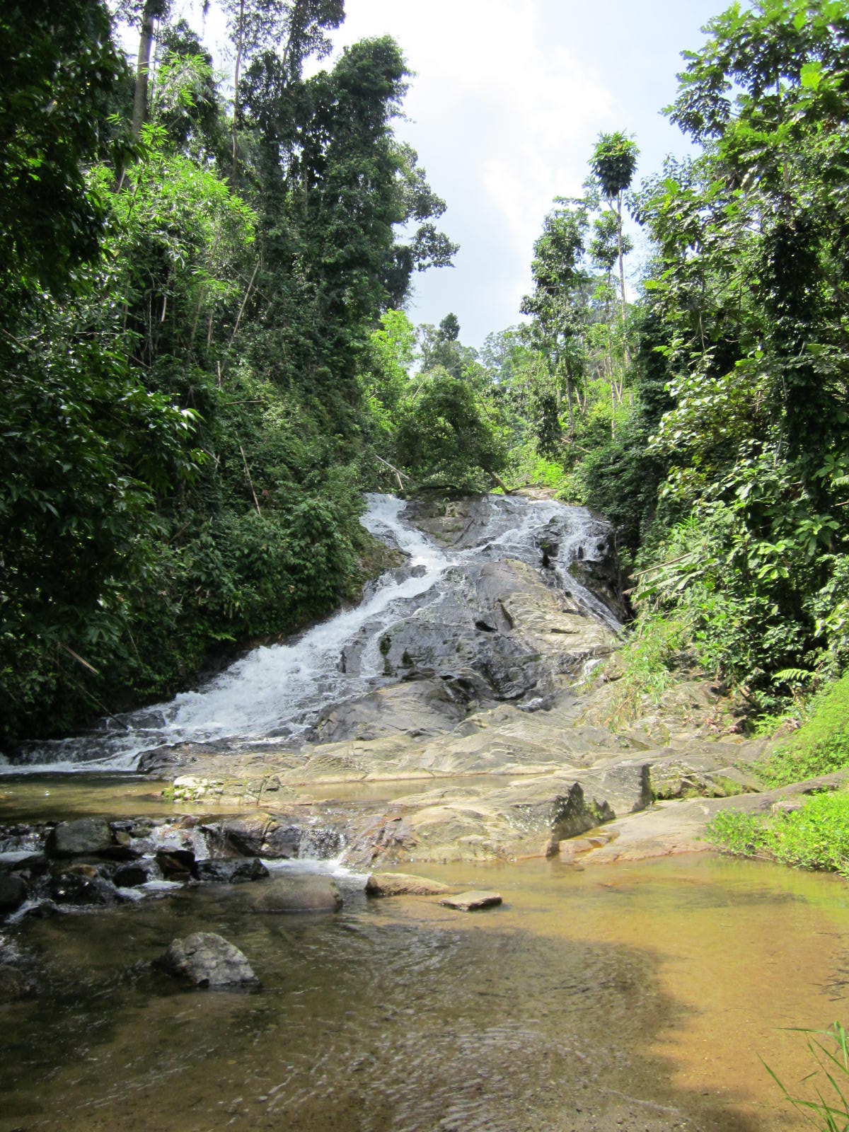
Up on the ridge one gets to a small shrine. Beyond is a big pond at the foot of a slender fall, the third level of five. Possibly already wearied down tourists are hanging around. But there are more levels to explore. One can jump over rocks to the other side, followed by a scramble over bare rocks. The stream equally forces it's way down over mostly short scrambles. We reach the next level, a delicious pool with a great 15 m fall on the opposite end.
Oddly enough a monk is here, feeding the fish (see lead photo, above), mostly catfish and carpers, largely ornamental varieties. It's a disturbing trend in the maintenance of what are essentially national parks, rearing fish, so as enhance something or another. The more frequented waterfalls of Thailand (read Erawan, Pa La U) seem to be teeming with fish and considering the regular feed supply, it's no wonder.
My son vehemently opposes any swimming with any fish, while my wife decides that it's not her day. I wait for the monk to totter off, undress (that's me) and enjoy another spectacular part of Thailand's nature. Meanwhile praying the fish won't nibble my special parts ...
Alex has a number of photo's, but other than that there is not much than the obvious reference on how to get here: located in Prachuap Khiri Khan province, the waterfall is conveniently accessible from the major highway south (km 350), only a 7 km ride to the foot of the mountains.
There's panaramio.
And travelfish.
Ursula's weekly wanderings has an interesting entry on the spirits of Prachuap Khiri Khan including some photo's which really are weird kind of spirits (mannequins?) which are to be found near the shrine at the first level.
 The lowest level seen from above
 The details: 'This waterfall is located at km. 556-557 on highway No. 4 3 kms. from Kra Buri township with another 13 kms. on the leftside of the main road along the laterite road to the fall. Bokkrai Waterfall has many steps with fascinating nature surrounding'. source
 Bokkrai, Bok Krai or Bok Kray. Sounds and looks pretty clear and this time around, it is clear. The road makes it all the way to Thungraya - Nasak wildlife sanctuary's entrance, another protected area along the spine of Thailand, straggling Burma or the Andaman coast. After we pay the 100 THB entrance fee (~$3) and receive a stack of tickets in exchange (good deal, 30 tickets of 10 THB instead of just the normal 3 of 100 THB), we proceed to the deserted car park just beyond the entrance.
Ranong's landscape is nice and lush, the minor road up to the sanctuary entrance winds it's way through mostly rubber plantations with the odd oil palm plantation thrown in for reasons of variation.
>
Anyway once in the sanctuary, the bush is still lush but more lustrous. Quite wet, a good track goes to the namesake waterfall, only 200m away.
 Bok Krai, the main lower level.
 There one learns that there are more levels, 7 no less and we take the good looking track up. However the higher one climbs the more muddy and less maintained the track becomes, like having to fight oneself through a jungle.
But, what a beautiful place. Well deserted with some the gracious pools. I hate to disturb the free flowing nature with my own natural antics but why else come all the way from the modern world if not to merge with the natura?
 Sorry for the disturbance!
Elsewhere on the net are another blog entrance as well as some more photo's by nobythai.

Thailand's southern province of Chumphon is not well known touristically, not for it's superb beaches, nor for the beautiful forests containing possibly some great waterfalls.
That said there's not a tourist website that fails to mention the existence of Kapo (Kapoh) waterfalls, to the northwest of the province's capital.
Though why this figures as the most mentioned of this province's waterfalls beats me.
The waterfall is easily accessible from the main highway (no. 4) going south via a very poorly signposted trail. Blink and miss. The access road brings you to a grassy plateau, none of which might give you a clue that you had arrived already. Continue onwards the black top runs out and you end up on a T crossing. Way too far!
The waterfall is near the grass plateau, travel back. Park the car and visit the hardly discernible waterfall.
Apparently somewhere in the past, much effort had been invested in making this a recreation park, but no funding reserved for maintenance.
The 'fall' is a 2 m drop followed by a couple of short drops into a stagnant pool. Due to the fact that this waterfall is near to the highway the effort to pull the car over from chugging down the highway is quite easy. But expectations should be tempered, maybe stock up at a petrol station and have a picnic.Most web sites refer as follows: 'Located in Tambon Salui, this waterfall is 13 kilometres from Tha Sae, along Phetkasem Road, between 466th 468th kilometre, or from Pathomphon Crossroad, by Petkasem Road for about 30 kilometres. The park has the area of 7,010 Rai of shaded forests and small waterfalls, suitable for relaxation' (source).
The Bangkok Post adds: 'It is a pleasing dappled park with a small waterfall and many species of plants appropriate for natural science study and relaxation'.
Kohtaotoday puts the following description: 'The park has a pleasant atmosphere of cool forest with a small waterfall flowing. All year round. There are many kinds of the plants, the residents of some birds kinds of the animals. This park is suit able for relaxation'.
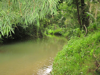 Downstream
Khao Sok National Park is a funny kind of place. Due to it's relative proximity to Phuket / Khao Lak, the ability to use it as a stopover from these places to / from Samui ferry and being just one km from a nice highway, it see's it's fair share of tourists. So much so, that a village of lodges, minimarts, travel agencies and cafe's / restaurants has sprung up.
Besides the facts of access, the reasons for a visit include the entrance point to one of Thailand's biggest and most spectacular national parks, the impressive craggy scenery and deliteful meandering stream that finds it's way through the various bungalow operations. A poorly translated blog site names Khao Sok as no. 2 in Thailands list of top 10 national parks.
An acquaintance with the steamy jungle is on the cards. Khao Sok offers a number of trails, along some streams. Having done these trails already 20 years back, one would expect some improvement. But none of that. Though the village has expanded exponentially, the national park has little to show for 20 years of high entrance paying tourists. One is still leant on to take a guide to destinations just beyond a ninety minute walk over a 4WD track. Going beyond is forbidden without a guide, at least in the wetter half of the year. Such is the pressure that even to this point of return groups of tourists see themselves compelled to hire a guide which is ridiculous.
Though I might see some safety element in this, it questions why the same practice does not take place elders. Or why simply the trails are made safe enough for independent tourists. But maybe keeping the guide trade in business trumps all other reasons.Anyway, mid 2011, we took the walk up the Khlong Sok as far as possible which leads to amongst a couple of swimming holes, the waterfall of Wang Hin. Wang Hin sits on a small tributary on the opposite bank of the main Khlong.
 Beyond the Khlong, Wang Hin waterfall.
From the national park headquarters there is also the possibility to visit Sip-et-Chan waterfall, an eleven tiered waterfall (the translation already says it all). Possibly reachable during the dry season.
Other trekking destinations are the already aforementioned swimming hole (see photo of Bang Hua Raet below) as well as a few more spots for a dip.
 Me, getting more wet with water than the customary sweat
.
 The lake on a rainy monsoonal morning.
.
Good and recent info on the park is available from Khaosok.com as well as from Khaosokdiscovery.com.
Probably some of the best independent users information comes from Tezza's beaches and islands extensive and updated entry on Khao Sok. He goes to considerable lengths to warn against leeches, I had only the one after 3 hours, which dropped off by itself and the bleeding terminated after a couple of hours.
The leeches contribute to Khao Sok being rated as the one of the World's Deadliest Places to Swim!'Before you go camping in this national park, be advised. The area is the home to more deadly creatures than any naive tourist can imagine. Huge centipedes the size of an adult man’s arm, man eating sharks[!, there are none!], blood sucking leeches, giant mosquitoes and poisonous caterpillars and Scorpion fish. Getting bitten by leeches is seemingly unavoidable so make sure to take up smoking as leeches hate tobacco. When attacked, mix water with tobacco and pour it over the leech and it should let go. Whatever you do, do not try and remove it by force as it will cause it to release its venom'.
A better perspective to be had is from Thom Henley's Waterfalls and Gibbon Calls (2005).
 Ahh, another spelling mischief. Sap Chomphu, Sub Chom Phu, Subchom Poo, pronounciation same-same, just too difficult to spell ...
Anyway, another Phetchabun province waterfall. Not located in a national park, administratively it is seen as an arboretum with waterfall. Or a National Forest Reserve. Barely 30 ha in size.
Getting here is not too difficult, located 8 km south of Nong Phai on highway 21, the access road is from the village market, due west. Just slow down in the village and take the only road west, once on this road there are signs virtually every km, for the 8-9 km it takes to get here.
The road gradually rises as it dissects mango orchards. Late April, the farmers are up early and the road is used as collection unit for the plastic containers full of mangoes, waiting for transport to Bangkok undoubtedly. Despite all the signs along the way, the last one directing you to take a right before the steep incline is non-existent. On this cross road though is a wooden sign which describes this as Sap Chom Phu Arboretum.
Past a few houses one enters along a now empty pond. Behind this are lined a serious amount of stalls and an expansive parking area. No entrance fee is required and one wanders across the bridge. Not many foreigners get this far. This I conclude as the number 1 tell-tale sign, a pack of dogs is barking at the exotic creature (must be a ghost), is all too clear. From beyond the bridge there are a number of trails heading up and I just take one.
Within 2 minutes I am walking alongside a small stream (Sai Ngam Ngam) under huge trees, the trees alone are worth a visit. Some larger examples have been singled out for the yellow ribbon worship.
However the stream itself is a trickle and despite walking as far as possible, the waterfall is only a number of short steps. Possibly these are part of the three waterfalls mentioned as per Bangkok Post. Waiting for the rain(s)
My photo's posted here are quite similar to those of the Bangkok Post referenced above, in the absence of the big waterfall.
 What it should look like
More photo's from this provincial blog.

 Keeping ahead and looking behind: level 3.